
Construction Progress Documentation
What You Actually Get From a Recurring Aerial Progress Flight (And What You Don’t)
Progress meetings burn time when nobody shares the same picture of the site. Phone photos get buried. Verbal updates drift. Drive-bys don’t scale when you have more than one active job.
A recurring aerial progress flight is a practical way to put the same dated top-down record in front of the superintendent, PM, owner, and office—so the conversation starts from what changed, not from competing memories.
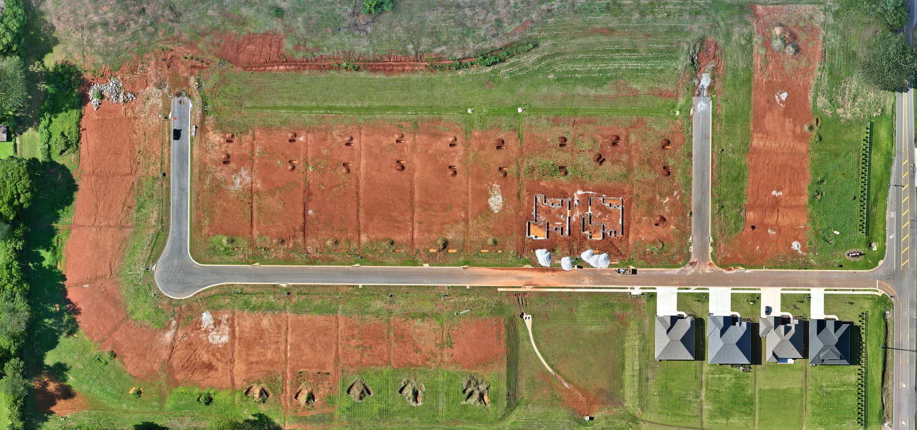
What a progress map is
In plain language, a progress map is high-resolution aerial site documentation you can reopen later and compare to the last flight. For technical readers, that often means a georeferenced overview or orthomosaic—stitched imagery aligned to the site so teams can orient themselves quickly. The point is not a pretty drone photo. The point is a consistent visual record for coordination and project communication.
What changes operationally
When flights happen on a cadence (weekly, biweekly, or tied to milestones), teams usually gain:
- Fewer “just go look” trips for status that a shared map already answers
- Cleaner owner and PM updates with a dated visual reference
- A trail of site conditions over time for planning the next work window
- Better alignment between field and office without inventing a new meeting culture
This is documentation for decision-making and communication—not a legal boundary product.
Honest boundaries
SkyForge Aerial Solutions operates under FAA Part 107 with RTK-enabled collection (DJI Mavic 3 Enterprise + RTK). That supports strong aerial documentation for construction progress and site visibility.
We are not a licensed surveying or engineering firm. Progress maps and site documentation are not survey-grade boundary or legal products. RTK improves positioning for mapping workflows; it does not by itself equal a certified survey. Volume or stockpile support, when discussed, depends on site conditions, flight planning, processing, and ground control when used—and is decision-support when a licensed surveyor is required.
Next step
If you have an active site and want a recurring documentation plan, tell us the site location and what decision you need support for—progress record, owner updates, or stockpile documentation support.
SkyForge Aerial Solutions · Huntsville, AL
info@skyforgeaerial.com · (806) 674-4739 · skyforgeaerial.com
Veteran-owned · FAA Part 107
Educational content. SkyForge Aerial Solutions is not a licensed surveying or engineering firm.