Construction Progress Documentation
What to Ask Before Booking Recurring Aerial Progress Flights
Buying “drone work” without a clear ops question usually produces disappointment. Recurring aerial progress flights work best when the buyer and the operator share the same picture of cadence, access, deliverables, and limits before the first launch.
Use this checklist when you are evaluating a recurring documentation plan for an active site.
1. What decision or conversation must this improve?
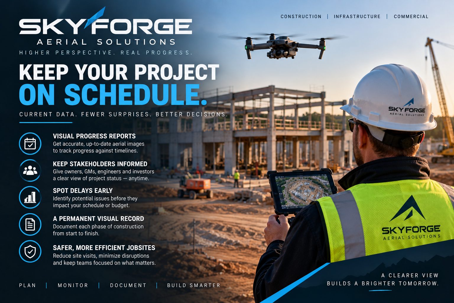
Start with the job, not the aircraft. Typical answers: keep the superintendent, PM, and owner on the same dated site view; cut unnecessary status drive-bys; document pad, utility, or earthwork change between meetings; give owners a visual trail of conditions over time.
If the real need is brochure photography or lifestyle video, say so up front. Progress maps and marketing stills are different tools.
2. What cadence actually matches the work?
Weekly, biweekly, and milestone-tied flights each have a place. Active earthwork or fast structural packages often need a steady rhythm so comparisons stay meaningful. Slower phases may only need flights before pours, after major pushes, or at owner checkpoints.
A useful test: will the next deliverable change a decision or a conversation you are already having? If not, stretch the interval.
3. What does “the site” include?
Confirm the geographic scope: full site, active work zones only, haul roads, laydown, stockpile areas, or adjacent parcels you need in frame. Consistency matters. Changing the footprint every flight makes side-by-side comparison harder.
Also note access realities: locked gates, escort rules, muddy haul roads, crane boom height, night work, or neighbor constraints that affect launch and landing.
4. What airspace and weather windows are realistic?
FAA Part 107 flights still depend on weather, visibility, and local airspace. Near airports, restricted areas, or temporary flight restrictions, planning takes longer. Ask how the operator handles weather slips, because reschedule rules matter more than a perfect calendar promise.
5. What deliverables will your team actually open?
Ask for file types your PM and superintendent can use without a specialist bottleneck: shareable overview images, georeferenced progress maps / orthomosaic-style products when needed, and a naming/date convention so last week and this week are easy to find.
If only one GIS-savvy person can open the files, you have created a handoff problem, not a progress tool.
6. How will repeatability be protected?
Progress documentation gets stronger when flights are planned for comparison: similar altitude and overlap ideas, consistent framing of the same zones, and a predictable turnaround. Ask what “same flight again next week” looks like in practice.
7. What are the honest product boundaries?
SkyForge Aerial Solutions operates under FAA Part 107 with RTK-enabled collection (DJI Mavic 3 Enterprise + RTK). That supports strong aerial documentation for construction progress and site visibility.
We are not a licensed surveying or engineering firm. Progress maps and site documentation are not survey-grade boundary or legal products. RTK improves positioning for mapping workflows; it does not by itself equal a certified survey. Volume or stockpile support, when discussed, depends on site conditions, flight planning, processing, and ground control when used. It is decision support, not a replacement for a licensed surveyor when one is required.
8. Who sees the files, and what rights apply?
Confirm who on the GC, owner, and trade side gets access; how long files are retained; and whether imagery may be used publicly. Public marketing use of client sites always needs explicit rights. The default is internal project coordination unless agreed otherwise.
A short way to start the conversation
Bring the site location, preferred cadence, the decision you need support for, and any access or airspace constraints you already know. That is enough to scope a recurring progress-map plan without buying the wrong deliverable.
SkyForge Aerial Solutions · Huntsville, AL
info@skyforgeaerial.com · (806) 674-4739 · skyforgeaerial.com
Veteran-owned · FAA Part 107
Educational content. SkyForge Aerial Solutions is not a licensed surveying or engineering firm.